

BREAKING: JUNE 17, 2025
🌪️ Hurricane Erick Just Exploded to Category 3 – New Maps Show Deadly Path Toward Mexico
Hurricane Erick has rapidly intensified to a Category 3 storm in the Eastern Pacific, with new forecast models showing a potentially dangerous path toward Mexico’s coastline in the coming days.
🚨 Current Storm Status (as of 8 AM PDT June 17):
- Location: 320 miles southwest of Manzanillo, Mexico
- Maximum Winds: 120 mph (Category 3)
- Movement: NW at 14 mph
- Pressure: 957 mb (rapidly intensifying)
Latest Projection Maps: Where Erick Could Hit


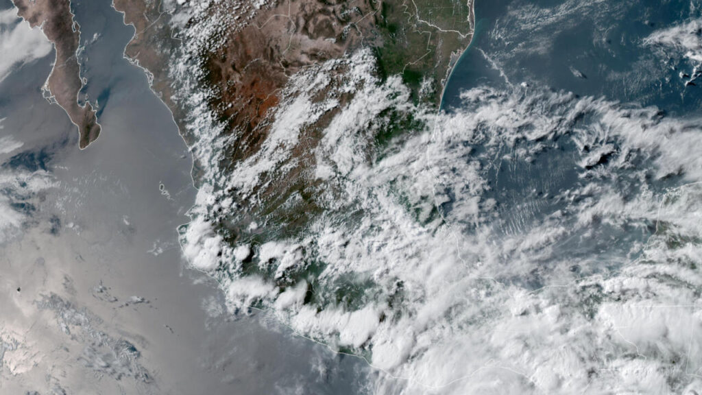
Latest NHC forecast track for Hurricane Erick as of 8 AM PDT June 17, 2025
The National Hurricane Center’s 5-day cone of uncertainty shows these potential impacts:
- 72 hours: Possible Category 4 strength (130+ mph winds)
- Landfall window: June 19-21 along Mexico’s Pacific coast
- Highest risk areas: Jalisco to Sinaloa coastline
- Storm surge: Up to 12 feet in direct hit areas
⚠️ Extreme Dangers Ahead:
- Life-threatening flooding from heavy rainfall (15-25 inches possible)
- Destructive winds capable of structural damage
- Dangerous surf and rip currents along entire coast
- Potential for rapid intensification to Category 4 before landfall
How Mexico is Preparing
Mexican authorities have initiated emergency protocols:
- Hurricane watches issued for coastal areas
- Evacuation plans being activated in low-lying regions
- Emergency shelters prepared in inland locations
- Navy deployments for potential rescue operations
What Travelers Need to Know
✈️ Critical Travel Advisories:
- Puerto Vallarta airport monitoring conditions
- Cruise ship itineraries being altered
- Resort areas preparing for possible impacts
- Travel insurance checkpoints urged
Note: Hurricane paths can change rapidly. This information is based on the National Hurricane Center’s 8 AM PDT June 17 advisory. Always follow official guidance from local authorities.